Skip to content
Menu

We earn a commission if you book through this link. You pay the same price.

Search

Plan your trip

Getting To and Around Sanibel Island

Last updated

Getting around Sanibel Island: the causeway toll, 26 miles of separated bike path, no traffic signals, and what beach parking really costs by the hour.

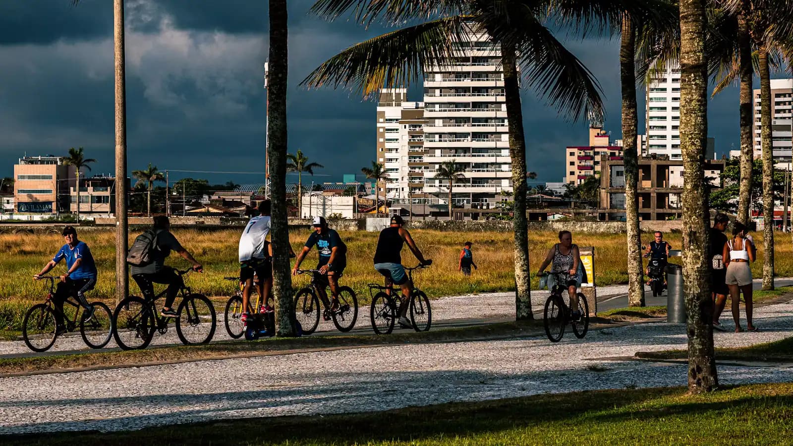
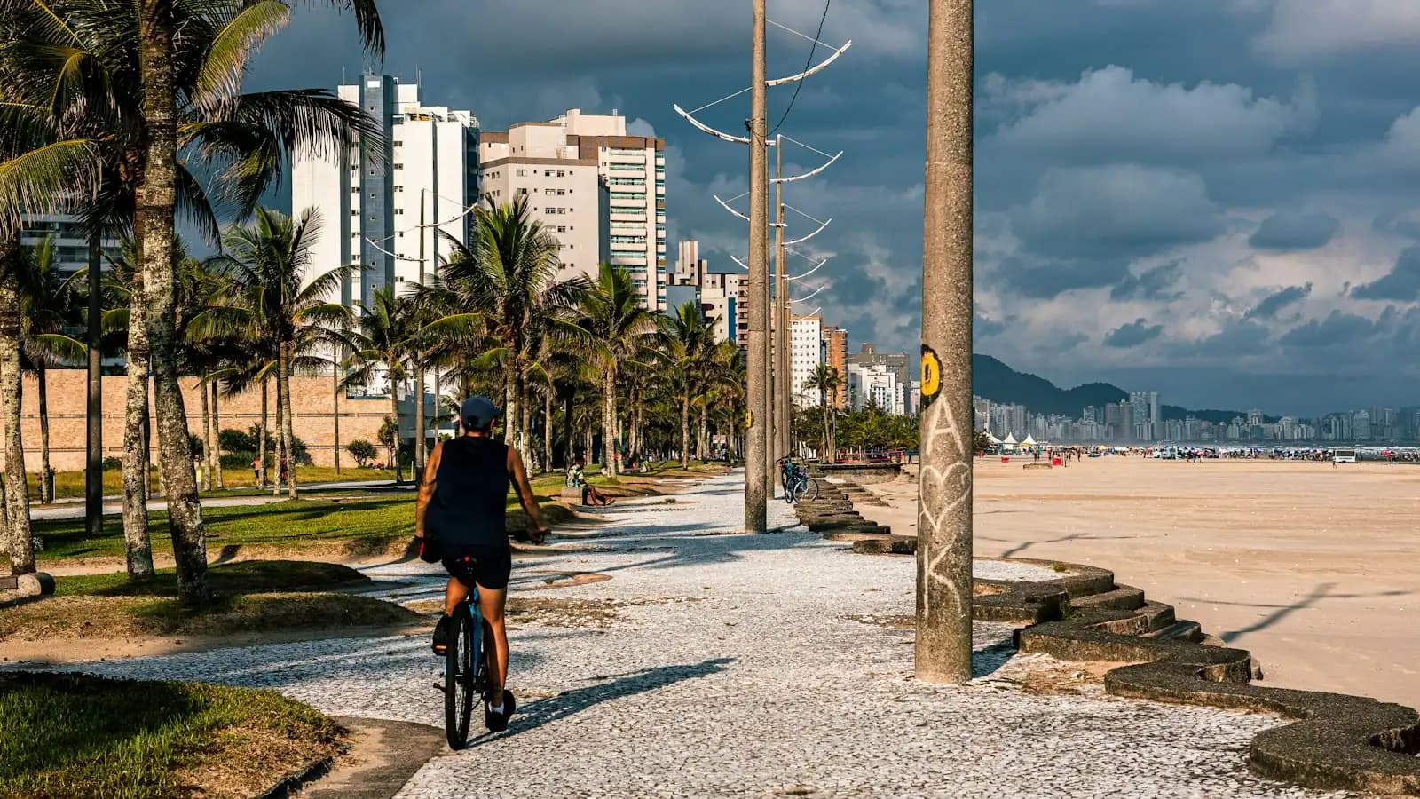
A cyclist riding a paved shoreline path lined with palm trees under heavy cloud

Two facts shape every journey you will make here. There is exactly one road onto Sanibel and you pay to use it. And once you are on the island, the bicycle is genuinely faster, cheaper and more pleasant than the car for most of what you will want to do.

The Sanibel Causeway carries the only road link, running from Punta Rassa on the mainland across San Carlos Bay to the eastern end of the island. It opened in 1963 and was replaced in 2007 with the higher flyover span you cross today. Hurricane Ian severed it on 28 September 2022 and cut the islands off entirely; emergency repairs restored traffic within weeks and permanent reconstruction was completed in 2024. The crossing today is unremarkable, which after what happened is the point.

The toll is charged in one direction only, on the way onto the island. Leaving is free. Expect something in the region of $6 with a SunPass or compatible transponder and around $9 if it is billed to your licence plate, with surcharges for additional axles. Rates get reviewed, so confirm the current figure rather than budgeting from an old article. If you are staying a week and going back and forth to the mainland, that is a real line in the budget rather than a rounding error.

Once you are across, the island does not behave like the rest of Florida. There are two through roads. Periwinkle Way runs along the eastern half; Sanibel-Captiva Road carries the island north-west to the Blind Pass Bridge and on to Captiva. There are no traffic signals. Junctions are four-way stops, the speed limits are low and enforced, and traffic simply moves more slowly than you expect.

Alongside those roads runs the thing that actually defines transport here: more than 26 miles of shared-use path, physically separated from the traffic rather than painted onto the shoulder, running from Lighthouse Beach Park at the eastern point to the Blind Pass Bridge in the west. It connects the beach parks, the refuge entrance, the shell museum, the shops and most residential areas. It is the reason a great many visitors here park the car on Sunday and do not move it again until Friday, and it is also the answer to the island's single largest recurring cost, which is beach parking.

What follows covers the causeway in detail, the bike path and its rules, driving and parking honestly, getting here from the airport, and what the options are if cycling is not realistic for you.
Our picks

The ones we would book

  • Editor's Pick

    Best trip that removes the driving problem

    Why we chose it

    A guided outing that collects you or departs from the island itself saves the one thing that is genuinely scarce here: a parking space at the right hour. Worth paying a little more for a trip leaving from a Sanibel or Captiva dock rather than the mainland, once you count the causeway crossing on the way back.

  • Accessible

    Best option without much walking

    Why we chose it

    Vehicle-based and boat-based trips see more of this island with less ground covered on foot than any trail does. Refuge tram tours and short naturalist cruises both work for anyone who cannot manage soft sand or a long path, and both run on the flat. Confirm boarding arrangements when you book.

  • Best Value

    Best-value trip counting the toll

    Why we chose it

    Compare prices after adding the causeway toll and the driving time for anything departing the mainland. A slightly pricier trip leaving from Captiva or Sanibel often costs less in total and returns an hour of your day. Around $70 is the median booking here, and that is before travel either side of it.

  • Small Group

    Best small-group trip from an island dock

    Why we chose it

    Small operators are more likely to run from the islands themselves, which removes the crossing entirely. Fewer passengers also means a shorter boarding process at a small dock with limited parking. Ask where exactly you are meeting before you book, because listings name the region rather than the dock.

The causeway, the toll and the traffic

What it costs

The route. From Fort Myers, McGregor Boulevard or Summerlin Road to Punta Rassa, then the causeway across San Carlos Bay. Three spans with two small causeway islands between them, then landfall at the eastern end of Sanibel.

The toll. Charged one way, on the trip onto the island. Around $6 with a SunPass or interoperable transponder; around $9 billed by plate; extra per axle for larger vehicles. Confirm the current rate, which is adjusted periodically. There is no cash lane in the way there once was, so a transponder or plate billing is how this works.

The traffic. Two predictable pinch points. Late afternoon in high season, when everyone comes back at once, and any morning that a large number of people have decided is a good beach day. In January through March, budget extra time in both directions and do not schedule anything tight on either side of the crossing.

The causeway islands. The small spoil islands along the causeway are a genuine local spot: shallow water, kite surfers on a windy day, fishing, and a view back at the bridge. Parking arrangements there have changed over the years, so read the signage on the day rather than assuming.

In a storm. The causeway closes ahead of severe weather, not during it, and that is the whole reason evacuation orders for barrier islands are issued early. If one is issued, leave on the first order. There is no second road.

The bicycle, which is the honest answer

On most Florida islands cycling is a leisure activity. On Sanibel it is transport, and treating it as such will improve your week and reduce your costs.

The shared-use path runs more than 26 miles, separated from the road by a verge rather than a painted line, from the lighthouse at one end of the island to the Blind Pass Bridge at the other. Spurs run off it to the beach parks, the refuge, the shell museum, the shops on Periwinkle Way and most residential roads. It is flat — this is a barrier island — and it is shaded in long stretches.

The rules that matter. Only Class 1 e-bikes are permitted: pedal assist only, cutting out at 20 mph, no throttle. Throttle-operated e-bikes, mopeds, motorised scooters and other powered devices are not allowed, with exceptions for mobility devices. Ride at a speed that suits a path shared with walkers and very young children.

Hire. Several island operators rent by the day and by the week, and a week's hire usually costs less than three days of beach parking. Many rentals include bikes; check the brakes and tyres before setting off, because salt air is hard on anything mechanical here.

What it buys you. Cyclists and walkers over fifteen pay around $1 to enter Wildlife Drive rather than the $10 vehicle rate, and under-16s are free. You can lock up at a beach rack instead of paying for parking. And you will see more: this is an island where the difference between 35 mph and 10 mph is a gopher tortoise on the verge.

After dark. The island's lighting ordinance protects nesting turtles from May into October, so the path is genuinely dark at night by design. Lights front and rear are not optional.

Driving on the island

Local tips

You will still want a car for the airport run, the grocery shop and any day that ends eight miles from home in a downpour. Driving here is easy, but it is not the same as driving elsewhere in Florida.

  • Two roads. Periwinkle Way east, Sanibel-Captiva Road west. Learn which one you are on and the island becomes trivially navigable.
  • No traffic signals. Main junctions are four-way stops. Take your turn and expect everyone else to.
  • Low speed limits, enforced. Most of the island sits in the 25 to 35 mph band. This is not a place to test it.
  • Wildlife on the road. Gopher tortoises, raccoons, wading birds and alligators all cross. Dawn and dusk are when it happens.
  • Cyclists everywhere. Expect bikes at every junction and crossing point, often ridden by people who have not been on one for a decade.
  • Parking is the constraint, not traffic. In high season the lots at Bowman's and Tarpon Bay fill early on a good day.
  • Fuel and groceries. Both cost more on the island than on the mainland. Most residents fill up in Fort Myers, and many visitors do a large shop before crossing the causeway.

One thing that catches people out. Sanibel-Captiva Road continues across the Blind Pass Bridge onto Captiva, but Captiva has its own rules — most notably that dogs are not permitted on Captiva's beaches, including Turner Beach on the Captiva side of the pass, although they are allowed on leash on Sanibel's.

Book it

Everything else we track

Some links below go to Viator, our booking partner. We earn a commission on bookings made through them — at no extra cost to you, and with no influence on what we recommend.

Parking, and what it actually costs

What it costs

Parking is the largest recurring cost of a Sanibel week for anyone driving to the beach, and it is worth understanding before you arrive.

Every beach park charges by the hour. Payment is at machines or by phone rather than in cash, and enforcement is real: the fine costs considerably more than a legitimate day. Budget roughly $5 an hour and check the posted rate, which is reviewed from time to time.

WhereRun byNotes
Lighthouse Beach ParkCity of SanibelEastern point, fishing pier, path terminus. Busy at sunrise and sunset
Tarpon Bay BeachCity of SanibelMid-island Gulf access, the easiest to find and the quickest to fill
Gulfside City ParkCity of SanibelOff Algiers Lane, small lot, quieter
Bowman's BeachCity of SanibelBest shelling, longest walk in over a footbridge, largest lot
Blind PassCity of SanibelWestern end at the pass. Strong current near the bridge — do not swim there
Turner BeachLee CountyCaptiva side of the bridge, around $5 an hour by phone, ADA restrooms, no dogs

Two distinctions that catch visitors out. A Lee County annual parking pass is valid at Turner Beach but not at the City of Sanibel parks, which run their own permit system. And residential streets near beach accesses are restricted; towing happens, and on an island of roughly six thousand residents it is a fast way to make yourself unpopular.

The cheap way round all of it is the bike rack, which costs nothing.

Getting here in the first place

When to go

By air. Southwest Florida International Airport at Fort Myers is the practical gateway, and the drive from the terminal to the causeway toll plaza at Punta Rassa is usually around forty-five minutes to an hour, longer in season or in the afternoon peak. Page Field, closer to central Fort Myers, handles general aviation. Tampa and Miami are both roughly two and a half to three hours away by road, which makes them a reasonable fallback if the fare difference is large.

By car. I-75 to the Fort Myers exits, then across on Daniels Parkway or Colonial Boulevard and out along Summerlin Road to Punta Rassa. Traffic through Fort Myers is the variable, not the causeway itself.

Car hire. Almost everyone hires at the airport. Book ahead for winter weeks, when the local fleet is stretched.

Once you are here. There is no public bus network on Sanibel, and taxi and rideshare availability on the island is thinner and slower than on the mainland, particularly late in the evening. Do not assume you can summon a car at short notice. Some accommodation and operators run their own shuttles; ask when you book.

Timing the crossing. Arriving mid-morning or mid-evening avoids the worst of the causeway queue in high season. If you have a late flight in, remember that the island is genuinely dark and the path and verges are unlit by design.

By boat. There are marinas on the bay side, and the outer islands — Cayo Costa, Cabbage Key, North Captiva — are reached only by water, generally from Captiva, Pine Island or Fort Myers Beach rather than from Sanibel itself.

If cycling is not realistic for you

Local tips

The island is flat, which helps, and a good deal of it is manageable without a bicycle.

Wildlife Drive is a four-mile road you can see entirely from a vehicle, with pull-offs, and it is one of the better wildlife experiences in Florida for anyone with limited mobility. The tram tours run by the refuge concession are another option and add a naturalist. Both are unavailable on Fridays, when the drive is closed.

Beach access varies. Some parks have boardwalks to a viewing point; getting onto shell-graded sand is harder than getting onto soft quartz, and a standard wheelchair will struggle. Turner Beach on the Captiva side has ADA-accessible restrooms. Ask the city or the individual park about beach wheelchair availability rather than assuming.

The shared-use path is flat, paved and separated from traffic, which makes it usable by mobility scooters and powered wheelchairs. Motorised devices are excluded from the path in general, but mobility devices for people with disabilities are exempt.

The Bailey Tract has flat, level trails and no entry fee, which makes it the easiest wildlife walking on the island.

Distances. Nothing on Sanibel is far. The island is about twelve miles from the lighthouse to the Blind Pass Bridge, and most of what visitors want sits within a couple of miles of the two through roads.

Where a specific facility's current accessibility matters to your trip, phone ahead. Rebuilding since 2022 has changed a great deal on this island and published information has not always kept up.

On the ground

Where to go

Every place below has its own page — hours, parking, what it costs and what to expect when you get there.

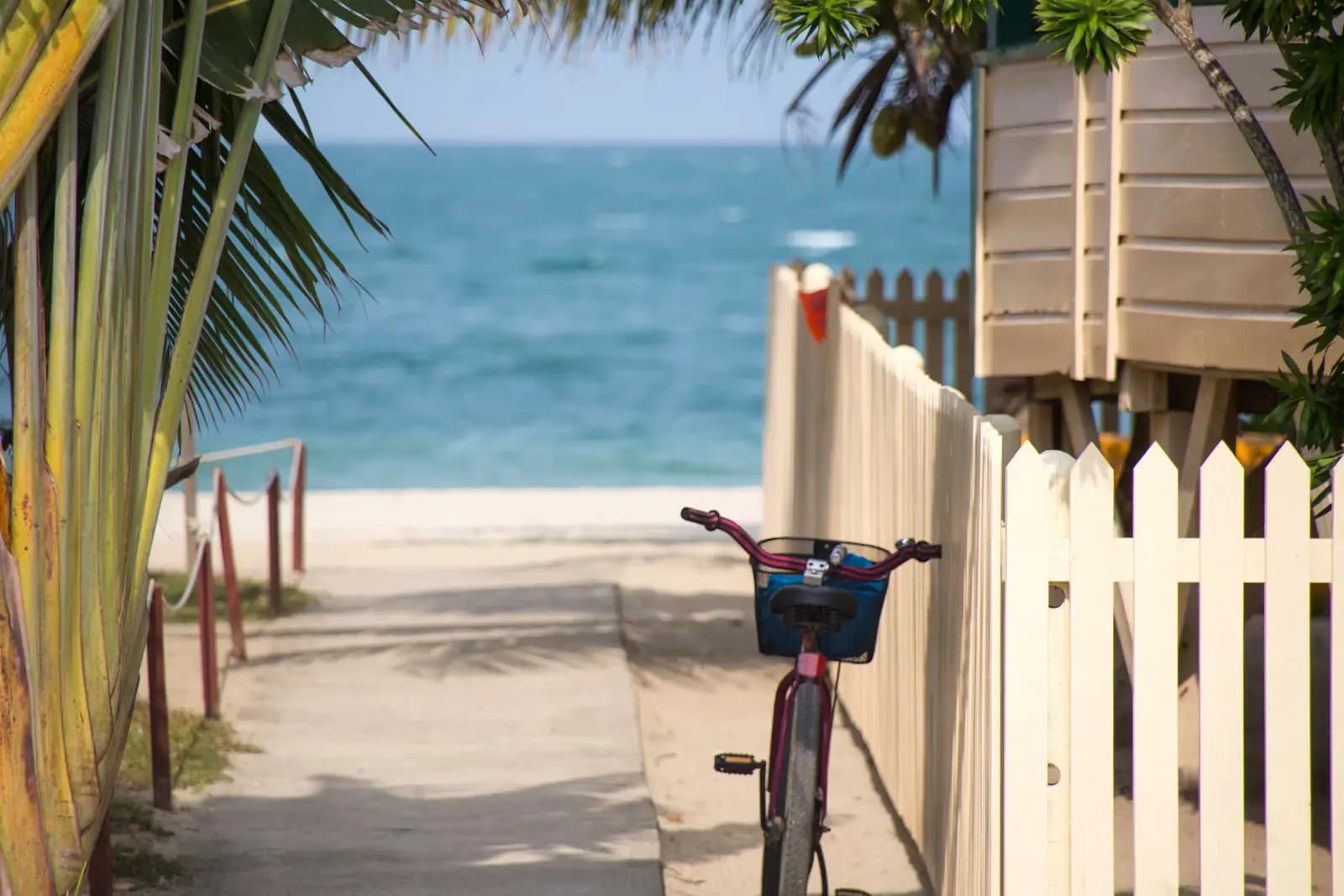
  • A beach cruiser bicycle leaning against a white picket fence at the head of a sandy beach access path

    Trail

    Sanibel Shared Use Path

    Free

    Twenty-five-plus miles of separated paved path from the lighthouse to Blind Pass, on an island with no traffic signal to stop you.

    1–5 hoursFree to use. Bicycle hire and refuge entry are separate costs.

  • An angler casting a line from a rocky shoreline into moving water at dusk

    Water feature

    Blind Pass

    Free

    The narrow gap between Sanibel and Captiva, where tidal current does the sorting — and where the swimming that looks inviting is not.

    1–3 hoursFree to visit. Parking on either side is a paid City of Sanibel session by the hour.

  • A dense bed of small pale seashells heaped together on wet sand

    Beach

    Lighthouse Beach Park

    Free

    The island's east point, where the Gulf beach and San Carlos Bay meet — and the biggest beach lot on Sanibel at 162 spaces.

    1.5–5 hoursBeach access is free. Parking is $5.00 per hour, enforced 24 hours a day.

  • A long fixed highway bridge arcing over a wide tidal river under a pale sky

    Landmark

    Sanibel Causeway

    Three bridges, two man-made islands, one toll charged in a single direction, and the only place you can park at the water's edge.

    0.5–3 hoursToll charged island-bound only — recently around $6 with a transponder and $9 by plate. Free leaving the islands.

  • A bicycle leaning against a pale fence beside palm foliage on a sunny day

    Shopping

    Periwinkle Way

    Free

    Sanibel's main street and the birthplace of its bike path network. No traffic lights, no chain fast food, shops set back behind planting.

    1–4 hoursFree. The plaza car parks along the street are free to customers.

  • Clear shallow water over a rippled pale sand bottom seen from directly above

    Beach

    Tarpon Bay Road Beach Park

    Free

    Under an acre of Gulf access in the middle of the island, with the car park a quarter-mile back up the road.

    1–4 hoursFree to enter. Parking is $5.00 per hour at the lot a quarter-mile north.

  • Low evening sun across a wide expanse of tall golden marsh grass

    Neighbourhood

    Dixie Beach

    Free

    A residential lane to Sanibel's quiet bay shore that is not a public beach — and is one of the best roadside bird stops on the island.

    15–45 minutesFree, because there is nothing provided to charge for.

Straight answers

Questions people actually ask

How much is the toll to Sanibel Island?

The Sanibel Causeway toll is charged in one direction only, on the way onto the island from Punta Rassa; leaving is free. Expect roughly $6 with a SunPass or interoperable transponder and around $9 if billed to your licence plate, with additional charges per axle for larger vehicles. Rates are reviewed periodically, so confirm the current figure rather than relying on an older source.

Do you need a car on Sanibel Island?

To reach the island, yes, and for a big grocery run. On the island, much less than you would expect. More than 26 miles of shared-use path, separated from traffic, connect the beach parks, the refuge, the shell museum and the shops from the eastern point to the Blind Pass Bridge. Many visitors park on arrival and barely move the car. Cycling also avoids the hourly beach parking charge entirely.

Are there traffic lights on Sanibel?

No. The island's main junctions are four-way stops rather than signals, which is part of a deliberate approach to development that dates back to incorporation in 1974. Speed limits are low, mostly in the 25 to 35 mph band, and they are enforced. The practical effect is that traffic moves slowly and cyclists and pedestrians are far more comfortable than on a comparable Florida island.

How much does beach parking cost on Sanibel?

Budget around $5 an hour at every beach park, paid at machines or by phone rather than in cash. Turner Beach on the Captiva side of Blind Pass is a Lee County lot at a similar rate. A Lee County annual pass works there but not at the City of Sanibel parks, which run their own permit system. Enforcement is genuine and the fines are substantially more than a legitimate day's parking.

Can you rent bikes on Sanibel Island?

Yes, from several island operators, by the day or by the week, and a week's hire typically costs less than three days of beach parking. Many rental properties include bikes. Check the brakes and tyres before setting off, because salt air is hard on bicycles. Only Class 1 pedal-assist e-bikes are permitted on the shared-use path — no throttle models, mopeds or motorised scooters.

How far is Sanibel from Fort Myers airport?

The drive from Southwest Florida International Airport to the causeway at Punta Rassa is usually around forty-five minutes to an hour, taking Daniels Parkway or Colonial Boulevard across to Summerlin Road. In high season, or in the late-afternoon peak, allow longer. Tampa and Miami are both roughly two and a half to three hours away, which makes either a reasonable alternative if fares differ significantly.

Is there a bus or shuttle on Sanibel?

There is no public bus network on the island, and taxi and rideshare availability is thinner and slower than on the mainland, particularly in the evening. Do not plan on summoning a car at short notice. Some accommodation providers and tour operators run their own shuttles, so ask when you book. For most visitors the practical combination is a hire car for arrival and a bicycle for the week.

How do you get from Sanibel to Captiva?

By road. Sanibel-Captiva Road runs to the Blind Pass Bridge and continues onto Captiva, so no boat is needed and there is no additional toll. It is a short drive or a long, pleasant ride, and the shared-use path runs as far as the bridge. Note that Captiva's rules differ: dogs are not allowed on Captiva beaches, including Turner Beach on the Captiva side of the pass.