Skip to content
Menu

We earn a commission if you book through this link. You pay the same price.

Search

Shopping

Periwinkle Way

Last updated

Sanibel's main street and the birthplace of its bike path network. No traffic lights, no chain fast food, shops set back behind planting.

Photo: James St. JohnCC BY 2.0

Closed at the moment

The mix of open businesses is still changing following Hurricane Ian. The Sanibel and Captiva Islands Chamber of Commerce maintains a current open-businesses list and map; check it before making a special trip to a specific address.

Periwinkle Way is the island's main street, running west from the lighthouse at the eastern point through the commercial heart of Sanibel before it meets Tarpon Bay Road and hands over to Sanibel-Captiva Road. If you are looking for shops, restaurants, bicycles and the closest thing Sanibel has to a town, this is the road.

Two things distinguish it from almost any other resort main street in Florida. There are no traffic lights on Sanibel — not on Periwinkle Way, not anywhere on the island — and there are no fast-food chains. Both are deliberate. The island incorporated as a city in 1974 specifically to control what the 1963 causeway had unleashed, and the plan that followed capped building heights below the tree canopy and kept the frontage low, set back and screened by vegetation. The result is a commercial street where you often cannot see the shops from the road until you are level with the entrance.

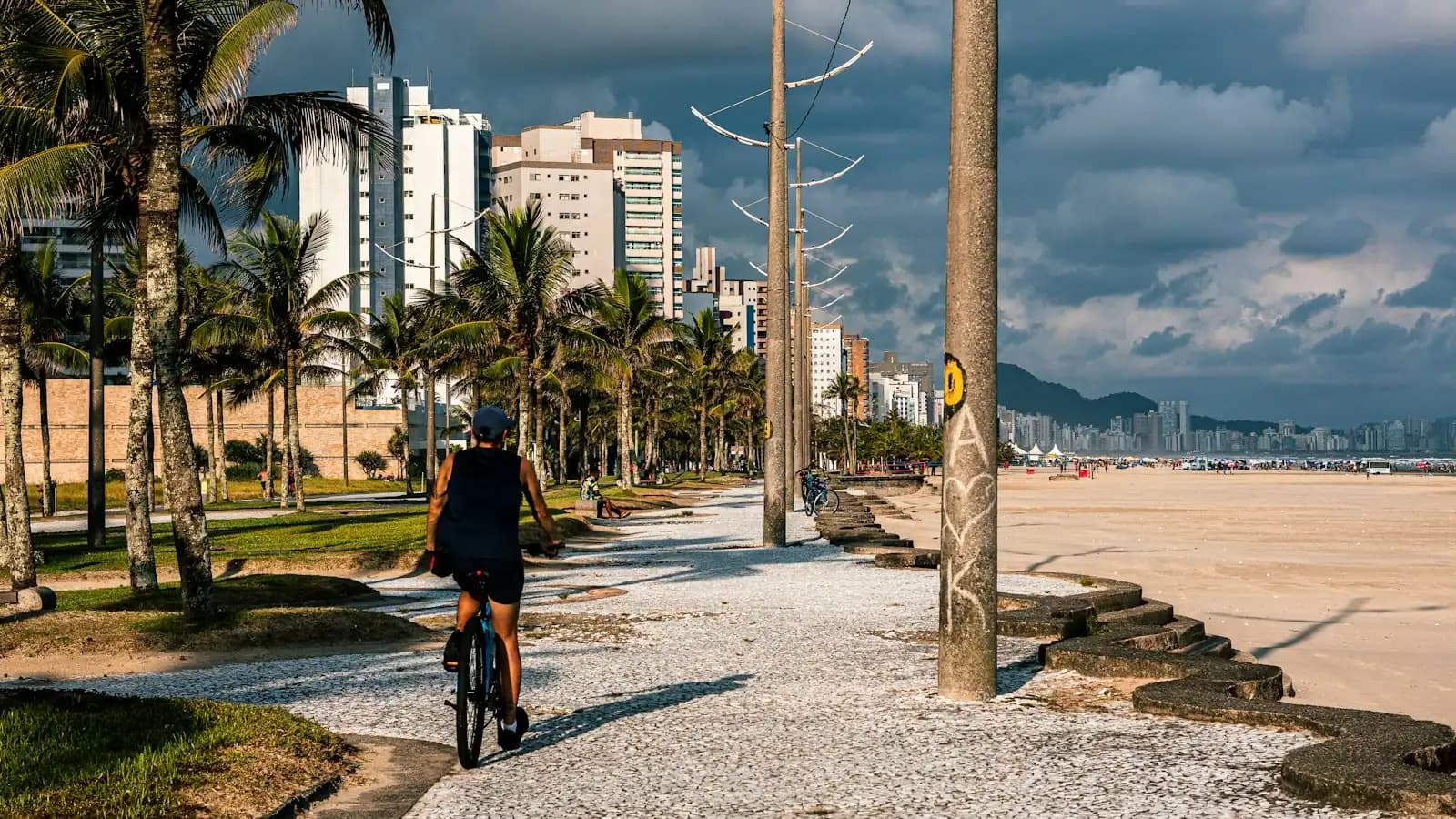
It is also where Sanibel's shared-use path started. The island's path network, now stretching to more than twenty-six miles from Lighthouse Beach Park in the east to the Blind Pass bridge in the west, began as a single segment along Periwinkle Way. That original stretch is still the busiest, and it is why the correct way to shop this street is on a bicycle rather than by driving between car parks.

One honest qualification. The retail and restaurant mix here is still settling after Hurricane Ian. Some businesses reopened quickly, some took years, and some did not come back. The islands' chamber of commerce maintains a current list of open businesses for exactly this reason, and it is the thing to check before you set out for a specific shop or table.

Getting there and parking

Periwinkle Way begins where Causeway Boulevard reaches the island and runs east to the lighthouse and west to the Tarpon Bay Road junction, where Sanibel-Captiva Road takes over. Turn left off the causeway for the commercial stretch; turn right and you are heading for the refuge.

The plazas each have their own free car parks. These are not city beach lots and do not charge by the hour, but they do fill in high season and they are intended for customers rather than as beach parking.

The shared-use path runs the entire length of the road, separated from traffic, and this is the original segment of the island's network. Bike racks are outside almost everything. On any day between January and April, cycling the street is faster and less irritating than driving it.

What is open, and why we are not listing it

Hurricane Ian came ashore on 28 September 2022 as a Category 4 and did severe damage along this corridor. Recovery has been real but uneven, and it has run over years rather than months.

That produces a specific problem for a visitor: a shop that a guidebook or a blog recommends may have reopened, may still be closed, or may no longer exist. Naming individual businesses here would create exactly that problem in a new place, so this page does not.

The reliable approach is the one the islands themselves use. The Sanibel and Captiva Islands Chamber of Commerce keeps a current open-businesses list and an interactive map, and it says plainly on its own site that its membership includes businesses that have reopened since Ian and businesses that have not. That list is the only source worth trusting for a specific destination on this street.

Practically: check before you drive out for a particular restaurant, and be relaxed about what you find when you get there. Browsing Periwinkle Way works well. Making a special trip for one address works less well than it did before 2022.

Why you should be on a bike here

The shared-use path runs alongside Periwinkle Way for its full length, separated from the traffic rather than painted onto it. This is the original segment of a network that now exceeds twenty-six miles, and using it changes the street completely.

  • Parking stops being a problem. Sanibel's commercial plazas have their own lots, but on a February afternoon they queue. Bike racks do not.
  • The plazas are set back and screened, which makes them easy to miss at driving speed and easy to notice at cycling speed.
  • The distances are short. The commercial stretch of Periwinkle Way is walkable end to end in well under an hour and rideable in fifteen minutes.
  • The path connects outward. East it ends at Lighthouse Beach Park; west it runs the length of the island to the Blind Pass bridge. Periwinkle Way is the hinge.
  • E-bikes are restricted. The city permits Class One e-bikes only: pedal assist, no throttle, maximum assisted speed 20mph. Throttle bikes, scooters and mopeds are not allowed on the path.

Rentals are widely available on the island and most accommodation can arrange them. It is the single best thing a first-time visitor can do on arrival day.

The shape of the street

Periwinkle Way is organised as a series of low-rise plazas and standalone buildings rather than a continuous shopfront terrace, set back behind planting, which is why it reads as a green road with occasional car parks rather than as a high street.

What you find along it, in broad terms: independent clothing and homeware, galleries, jewellers, bookshops, ice cream, bicycle hire, grocery and hardware, and a range of restaurants from counter service to the island's more formal rooms. There is no chain fast food anywhere on Sanibel, and there is no shopping mall.

Two non-retail stops sit directly on the road and are worth knowing. SCCF's Bailey Homestead Preserve at 1300 Periwinkle Way is the conservation foundation's public front door, with its native plant garden centre and the Shipley Trail running from it. And the Periwinkle Preserve Trail, a half-mile walking loop, opens directly off the shared-use path partway along.

At its eastern end the road runs out at the lighthouse and Lighthouse Beach Park. That makes a simple, good day: ride the street, stop where you like, finish at the point.

If you do drive it

No traffic lights sounds relaxing and mostly is, but it has consequences. Junctions on Periwinkle Way are four-way stops and roundabout-free, which works well at low volume and less well when the island fills.

The pinch points are predictable. Saturday is changeover day for weekly rentals and the eastern end of Periwinkle Way, where causeway traffic arrives, backs up in both directions in the middle of the day. January to April is the high season generally, and the hour before sunset pushes traffic west towards the beaches.

Speed limits are low and enforced, and the island has a great deal of cycle and pedestrian traffic crossing the road between plazas and the path. Wildlife crosses too — this is an island where a gopher tortoise on the tarmac is a normal occurrence rather than an event.

If you are staying on the island, the honest advice is to park the car for the week. Between the shared-use path and the compactness of the commercial strip, most visitors find they use the car for the grocery run and the trip to Bowman's Beach and nothing else.

Tours that visit Periwinkle Way

Operators run these trips past Periwinkle Way, or stop there as part of a longer route. We list what the booking data supports — not everything that mentions the name.

Some links below go to Viator, our booking partner. We earn a commission on bookings made through them — at no extra cost to you, and with no influence on what we recommend.

Shared departurespriced per seat, best value for one or two

  • Sunset Cruise Fort Myers Beach

    Private and Luxury

    Sunset Cruise Fort Myers Beach (opens in a new tab)

    Free cancellationInstant confirmation
    23 reviews

    Join us for a scenic 90 minute cruise at sunset that blends comfort, adventure, and the wonders of nature. Book your spot today and…

    1–2 hours

    Prices checked

    from $47.92
  • Southwest Florida Sunset Sail

    Wildlife Watching

    Southwest Florida Sunset Sail (opens in a new tab)

    Free cancellationInstant confirmation
    514 reviews

    SWFL sunsets are the best, and there is no better place to watch them than from the deck of our 36ft. Sailing Catamaran, "Copacetic". The…

    2 hours

    Prices checked

    from $70

Private and small-group optionsoften cheaper per head for a family or a group of six

Near Periwinkle Way

Straight-line distances, so allow more on the road — the island is long and has one main parkway.

  • A shaded sandy path running under arching trees between low vegetation

    Historic site

    Sanibel Historical Museum & Village

    The island's surviving pioneer buildings, moved onto one site off Dunlop Road. Closed for the season from August to mid-October.

    1–2 hoursSelf-guided: adults 19+ $20, youth 6–18 $10, children 5 and under free. Parking is free.1.7 mi away

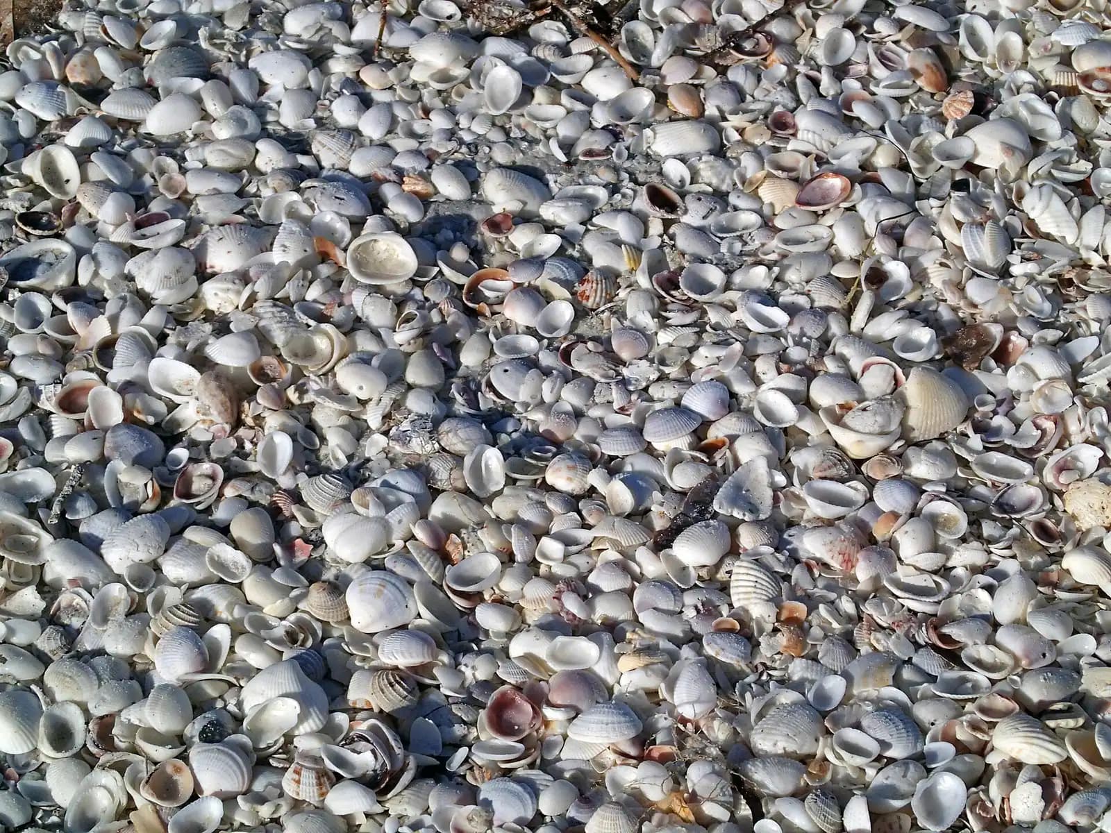
  • A dense bed of small pale seashells heaped together on wet sand

    Beach

    Lighthouse Beach Park

    Free

    The island's east point, where the Gulf beach and San Carlos Bay meet — and the biggest beach lot on Sanibel at 162 spaces.

    1.5–5 hoursBeach access is free. Parking is $5.00 per hour, enforced 24 hours a day.1.9 mi away

  • The gallery and lantern room of a lighthouse seen from below, framed by palm fronds against a bright sky

    Landmark

    Sanibel Island Lighthouse

    Free

    An iron skeleton tower first lit in 1884, dark after Ian and burning again since February 2023. You can walk to it, not up it.

    0.5–2 hoursFree to visit the grounds. Parking is $5.00 per hour, enforced around the clock.2 mi away

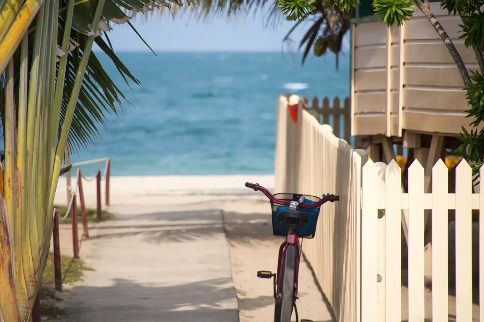
  • A beach cruiser bicycle leaning against a white picket fence at the head of a sandy beach access path

    Trail

    Sanibel Shared Use Path

    Free

    Twenty-five-plus miles of separated paved path from the lighthouse to Blind Pass, on an island with no traffic signal to stop you.

    1–5 hoursFree to use. Bicycle hire and refuge entry are separate costs.0.3 mi away

Periwinkle Way: common questions

Are there traffic lights on Sanibel?

No. There is not a single traffic light anywhere on the island, including on Periwinkle Way, its main street. Junctions are four-way stops. This is a deliberate outcome of the island incorporating as a city in 1974 and writing a plan designed to limit what the 1963 causeway had set in motion — the same plan that keeps buildings below the tree canopy and keeps chain fast food off the island entirely.

Is Periwinkle Way good for shopping?

It is the island's commercial centre and the only concentration of shops and restaurants on Sanibel, arranged as low-rise plazas set back behind planting rather than a continuous shopfront. Expect independents — clothing, homeware, galleries, jewellers, books, bicycle hire — rather than chains, of which there are none. The mix is still settling after Hurricane Ian, so check the islands' chamber of commerce open-business list before making a trip for one specific address.

Can you cycle along Periwinkle Way?

Yes, on a separated shared-use path that runs the full length of the street. This was the first segment of a network that now exceeds twenty-six miles, reaching from Lighthouse Beach Park at the east point to the Blind Pass bridge in the west. Cycling is the sensible way to use the street: the plaza car parks queue in high season and bike racks do not. Only Class One e-bikes are permitted — pedal assist, no throttle, 20mph assisted maximum.

Has Periwinkle Way recovered from Hurricane Ian?

Partly, and unevenly. Ian struck on 28 September 2022 as a Category 4 and did severe damage along this corridor. Many businesses reopened, some took years, and some have not returned. The Sanibel and Captiva Islands Chamber of Commerce says as much on its own site and maintains a current open-businesses list and interactive map precisely because the picture keeps changing. Browsing the street works well; planning around one specific shop needs a check first.