Private and Luxury
Sunset Cruise Fort Myers Beach (opens in a new tab)
Join us for a scenic 90 minute cruise at sunset that blends comfort, adventure, and the wonders of nature. Book your spot today and…
1–2 hours
Prices checked
Neighbourhood
Last updated
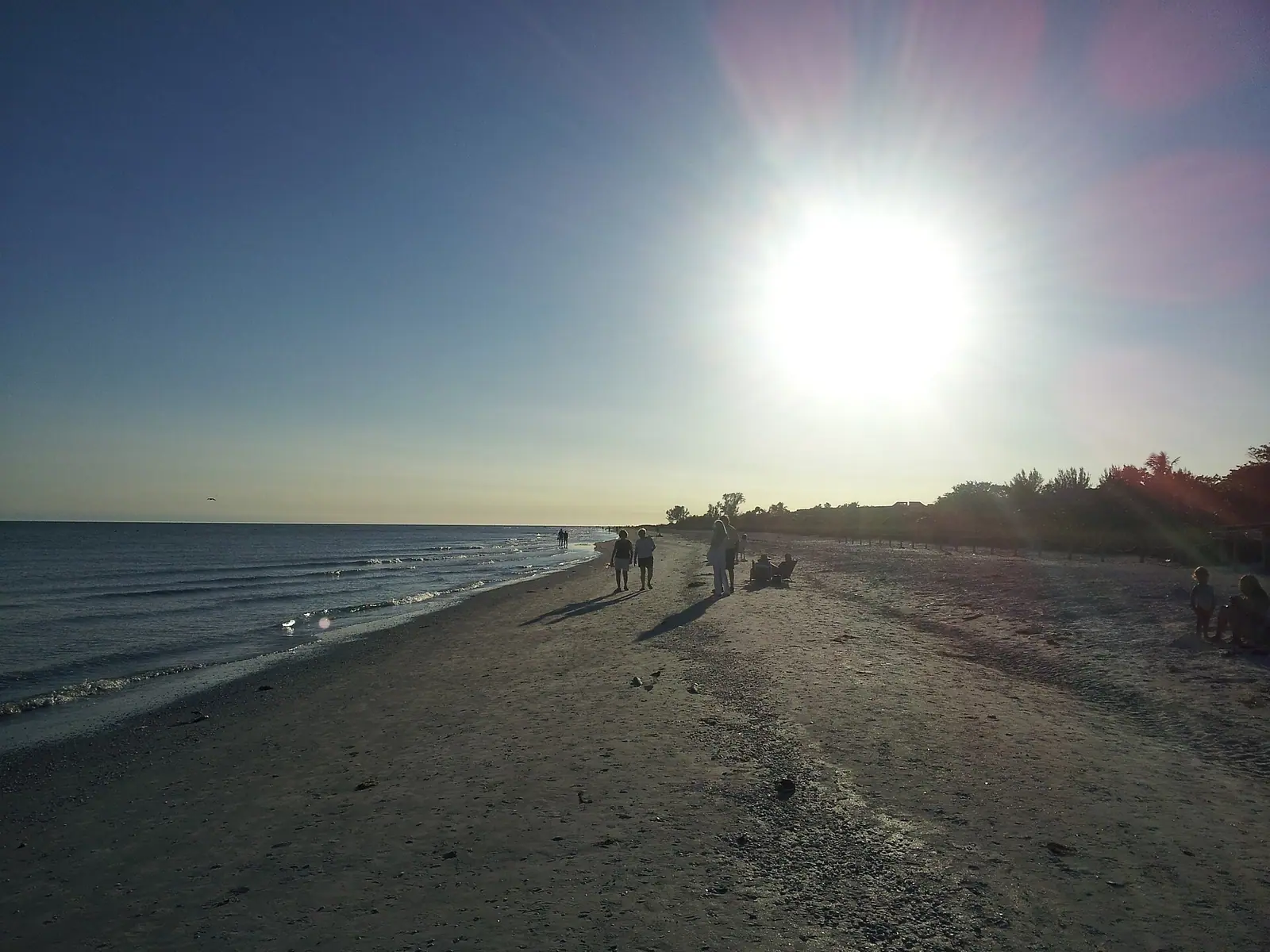
A residential lane to Sanibel's quiet bay shore that is not a public beach — and is one of the best roadside bird stops on the island.
Photo: Brandon EvansCC0
Sanibel has two coasts and they behave nothing alike. The Gulf side is the one everybody comes for: pale sand, low surf, the shell line. The bay side, facing northeast across San Carlos Bay towards the causeway and the mainland, is mangrove, oyster bar and tidal flat, and Dixie Beach Boulevard is one of the few roads that goes there.
Start with the thing that saves a wasted trip. This is not a public beach park. The City of Sanibel's beach parks are a defined list with car parks, paid parking and restrooms, and this is not on it. The name on the map sets an expectation the place does not meet. There is no lot to leave a car in, no path down to the sand, no facility of any kind, and the land either side is residential. If you drive out here with towels and a cool box you will turn round again, probably in someone's driveway.
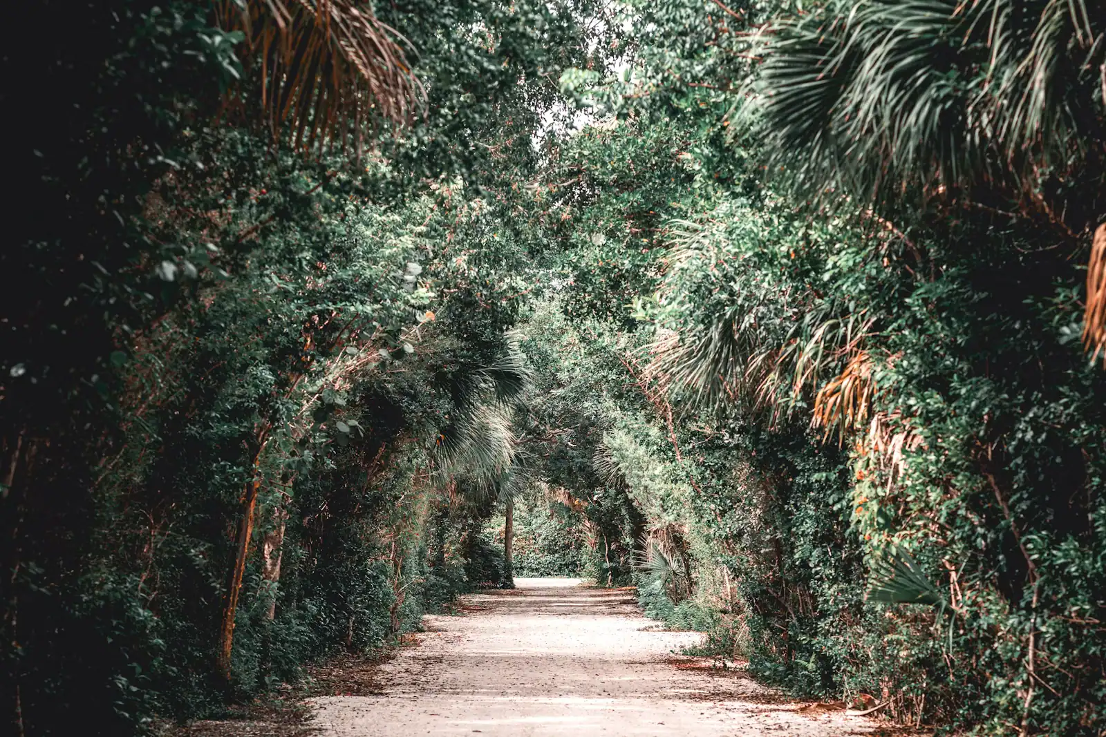
What is here is quieter and, for the right visitor, better. The road runs north off Periwinkle Way through low wetland to the bay shore near the point at the far end, which carries the name of one of the island's earliest settler families. It is a slow lane on a slow island. The ditches and wet ground beside it hold wading birds throughout the year and concentrate them in the dry season, and because the traffic is residential and light, you can stop, look and move on without causing a problem.
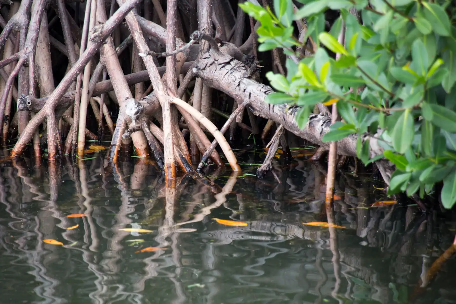
The bay shore itself is a different Sanibel. At low water the flats go out a long way, mottled dark with seagrass and oyster. Wading birds work them in numbers. The mangrove edge holds the juvenile fish that the whole estuary runs on. Across the water, the causeway bridges and the mainland shoreline are close enough to read.
Treat this as a detour rather than a destination: fifteen minutes on a bicycle, binoculars, and a completely different view of the island from the one on the postcards.
Dixie Beach Boulevard turns north off Periwinkle Way on the eastern third of the island, a couple of miles west of the causeway.
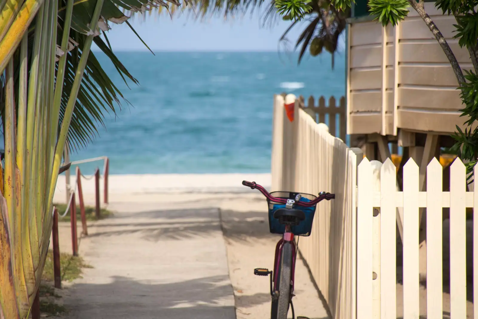
The sensible way to see it is by bicycle. The Shared Use Path runs along Periwinkle Way past the junction, so you can turn in, ride the lane and come back out without needing anywhere to park.
By car, understand before you set off that there is no public car park at the end and no legal roadside parking on a residential lane. A slow drive out and back is reasonable; leaving a vehicle is not.
If you want to be on the bay shore properly, the causeway islands are the accessible option, with paid city parking directly beside the water and no residential frontage to worry about.
It is not a City of Sanibel beach park. The city's beach parks are Causeway Beach, Lighthouse Beach, Gulfside City Beach, Tarpon Bay Road Beach, Bowman's Beach, Blind Pass Beach and Turner Beach over on Captiva. Each has a car park and paid hourly parking. This is not one of them.
There is no public car park. Parking on a residential Sanibel lane is a good way to acquire a ticket and a bad way to be a guest on an island where residents already deal with a great deal of traffic.
There are no facilities. No restroom, no water, no bin, no bench, no shade structure.
It is not a Gulf beach. This is the estuary side. Even where you can see water from the road, the shoreline is mangrove, mud and oyster rather than the sand you came to Florida for. Nobody swims here and you should not plan to.
It is not a shelling beach. The shells this island is famous for are sorted by Gulf surf and pass currents. The bay side holds a different and much smaller assemblage.
If any of that is what you wanted, Bowman's Beach is fifteen minutes away and has all of it.
The refuge gets the attention and deserves it, but experienced island birders keep a short list of roadside spots where the light is better, the traffic is lighter and nobody is queueing behind you. This is one of them.
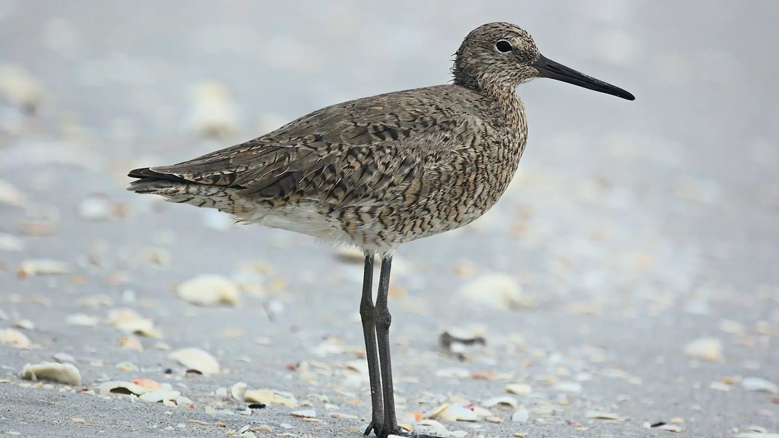
The wet ground along the road holds water when the island is drying out, which concentrates birds from January into April. What turns up:
Timing matters more than anywhere on the Gulf side. Go at low water, early, with the sun behind you. The bay faces northeast, so a morning visit gives you front lighting rather than the silhouettes you get on a Gulf beach at the same hour.
Stay on the road, stay out of driveways, and do not use playback. People live here.
Ride, do not drive. The Shared Use Path runs along Periwinkle Way past the turning, and a bicycle solves the parking problem entirely because there is no parking problem on a bicycle. It is a flat and easy detour of a mile or two.
Go early. Before eight the lane is quiet, the light is on your side and the birds are feeding rather than roosting.
Keep moving. Stopping briefly to look is fine. Setting up a tripod in front of a house is not, and the difference matters on an island of six thousand people who see visitors every day of their lives.
Combine it. This end of the island holds the lighthouse, the causeway beaches, the historical village and the eastern end of the interior trails. Dixie Beach is a ten-minute addition to a morning rather than an outing in itself.
Take the same ethic the rest of the island runs on. Nothing live comes off any shoreline here, including the bay side. That is county law, not a Sanibel preference, and it covers sand dollars and sea stars as much as shells.
Sanibel works because visitors behave like guests. A quiet residential lane is where that is tested.
Operators run these trips past Dixie Beach, or stop there as part of a longer route. We list what the booking data supports — not everything that mentions the name.
These go through Viator and we take a commission. Same price to you, and no bearing on what we chose to put here.

Private and Luxury
Join us for a scenic 90 minute cruise at sunset that blends comfort, adventure, and the wonders of nature. Book your spot today and…
1–2 hours
Prices checked

Involves Animals
Come join us for a once in a lifetime experience that is great for all skill levels. There are only a few places on earth to see the West…
2 hours
Prices checked

Wildlife Watching
SWFL sunsets are the best, and there is no better place to watch them than from the deck of our 36ft. Sailing Catamaran, "Copacetic". The…
2 hours
Prices checked

Short term availability
On this trip, Guests will be exploring the local Islands around Fort Myers and Naples area. The Islands are well known for their excellent…
2 hours
Prices checked

Bus Tours
Experience the road to Hana in ultimate comfort in a private luxury SUV for groups of up to 5 or a transit van for groups of up to 12. We…
Full day
Prices checked

Short term availability
Enjoy speeding over the waters of Fort Myers Beach with a fun Sea-Doo rental! We offer the fastest and most stable water craft for you to…
1 hour
Prices checked
Straight-line distances, so allow more on the road — the island is long and has one main parkway.

Shopping
Sanibel's main street and the birthplace of its bike path network. No traffic lights, no chain fast food, shops set back behind planting.
1–4 hoursFree. The plaza car parks along the street are free to customers.1.8 mi away

Landmark
Three bridges, two man-made islands, one toll charged in a single direction, and the only place you can park at the water's edge.
0.5–3 hoursToll charged island-bound only — recently around $6 with a transponder and $9 by plate. Free leaving the islands.2.6 mi away

Historic site
The island's surviving pioneer buildings, moved onto one site off Dunlop Road. Closed for the season from August to mid-October.
1–2 hoursSelf-guided: adults 19+ $20, youth 6–18 $10, children 5 and under free. Parking is free.3.4 mi away

Trail
The island's wettest public trail, named for a tree that grows standing in water — and the closest walk to the causeway toll plaza.
0.5–1.5 hoursFree, with no gate, no ticket and no staff.0.2 mi away
Where this place fits into a day, and the pages that plan one.

Guide hub
Sanibel lies east to west. Nearly every other barrier island on Florida's Gulf coast lies north to south, running parallel with the mainland, and…

Plan your trip
Two facts shape every journey you will make here. There is exactly one road onto Sanibel and you pay to use it. And once you are on the island, the…

Guide hub
Most destinations have wildlife somewhere near the edges. Sanibel organised itself around it. When the causeway opened in 1963 and Lee County's plan…

Things to do
Sanibel packs four separate bird habitats into twelve miles, which is why it holds up as a birding destination rather than a pleasant place to see…

Budget
Almost everything worth doing on Sanibel is free. The beaches are free. Shelling is free and requires no equipment. The interior trails are free…

Guide
More than 245 species have been recorded at the refuge alone. The trick is not where to stand — it is when, and the answer is a falling tide.
7 min readCaleb Nystrom

Guide
One road on, no traffic lights, metered sand and a law about what you may pick up. Sanibel rewards a visitor who understands it before they cross the bridge.
10 min readHarriet Lowell

Guide
The island chose a bicycle network over wider roads. Twenty-five-plus miles of separated paved path, flat end to end, and the better way to see almost everything.
8 min readRosa Villanueva
No. Despite the name, it is not one of the City of Sanibel's beach parks and it has no public car park, no access path and no facilities. The city's beach parks are Causeway, Lighthouse, Gulfside City, Tarpon Bay Road, Bowman's, Blind Pass and Turner Beach on Captiva, all with paid hourly parking. Dixie Beach Boulevard is a residential lane on the bay side. If you want sand, go to Bowman's Beach instead.
No, and you would not want to. This is Sanibel's bay side, facing northeast across San Carlos Bay, and the shoreline here is mangrove, mud and oyster bar rather than sand. The water is shallow, the bottom is soft and sharp by turns, and there is no public access point, no lifeguard and no facility. Swimming on Sanibel happens on the Gulf beaches, which are a ten-minute ride away.
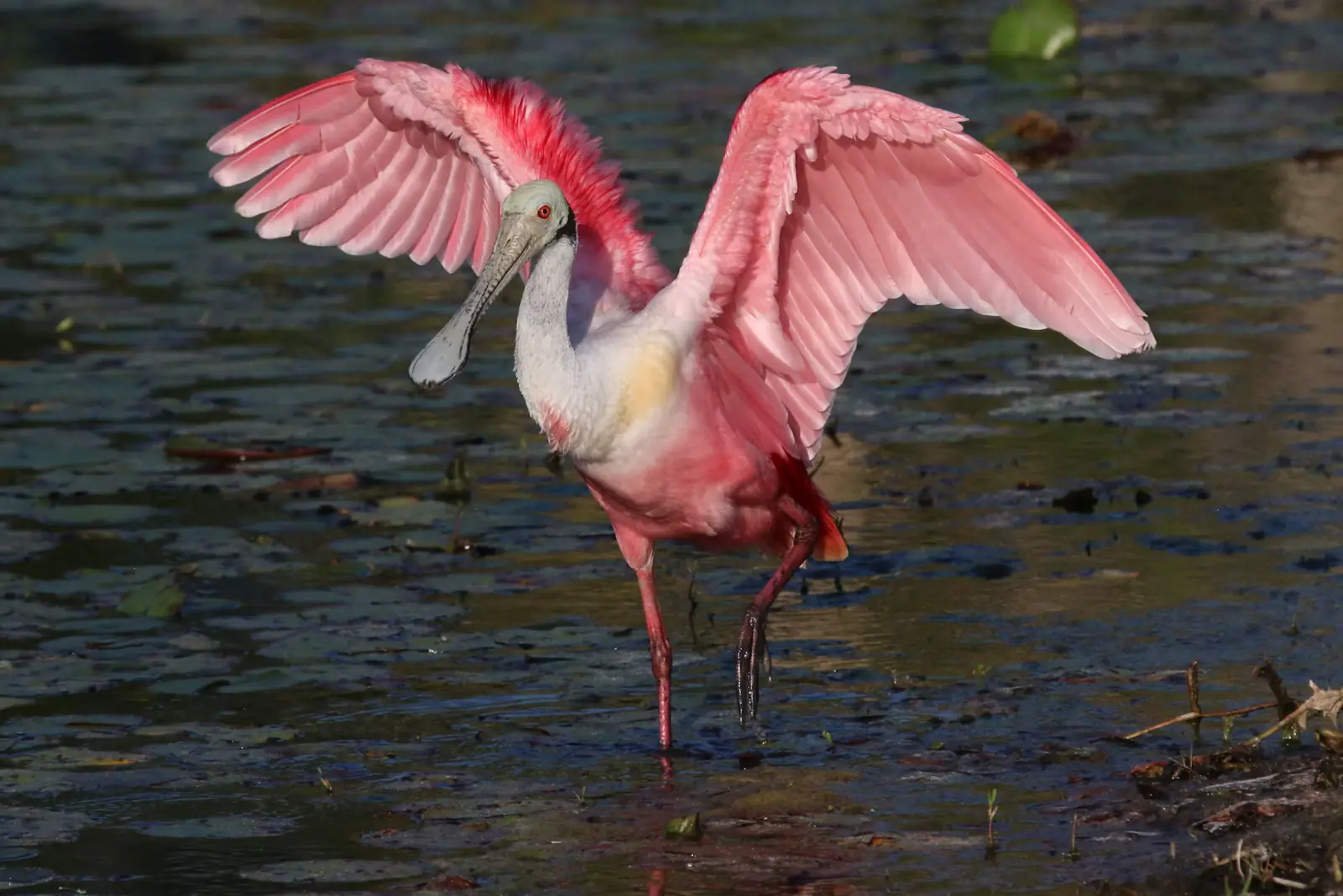
Because the low wet ground beside the road holds water when much of the island is drying out, which concentrates wading birds from January into April, and because the bay flats at low tide pull in shorebirds. Egrets, herons, ibis and ospreys are routine, spoonbills are occasional. The northeast-facing aspect also means the morning sun is behind you rather than in your lens, which is the opposite of a Gulf beach at the same hour.
Nowhere legal on the lane itself, which is the honest answer. It is residential, there is no public lot and roadside parking will get you a ticket. Ride in instead: the Shared Use Path runs along Periwinkle Way past the junction, so a bicycle removes the problem entirely. If you want bay-side water with a proper car park, use the causeway island beaches, where you can pay for a City of Sanibel session beside the shore.