Skip to content
Menu

We earn a commission if you book through this link. You pay the same price.

Search

Landmark

Sanibel Causeway

Last updated

Three bridges, two man-made islands, one toll charged in a single direction, and the only place you can park at the water's edge.

Photo: Frank Kovalchek from Anchorage, Alaska, USACC BY 2.0

Closed at the moment

Reconstruction and shoreline work on the causeway islands has run in phases since 2022. Sections are periodically fenced or closed to parking, and facilities are not guaranteed.

Every visitor arrives the same way. Three bridges carry State Road 867 about three miles across San Carlos Bay from Punta Rassa on the mainland to the eastern tip of Sanibel, and between them sit two man-made islands with sand on both sides. The crossing opened on 26 May 1963 and put the ferry out of business; the original structures were worn out by saltwater and replaced between 2004 and 2007, the middle bridge first and the high fixed span that replaced the old drawbridge a few months later.

The toll is the part worth understanding before you set off. It is charged in one direction only, towards the islands, which means you pay on the way in and nothing at all on the way out. Rates have run in the region of six dollars with a transponder and nine by number plate, with a surcharge for extra axles. Lee County sets them and revises them, so treat those as a band rather than a quote. There are no cash booths to hold you up and no way to avoid it: this is the only road on.

What almost nobody plans for is stopping. The causeway islands are a public beach park, and they are the one place in this area where you can pull off the road and be standing on sand thirty seconds later. Shallow, warm, protected water on the bay side. Steady cross-breeze, which is why kiteboarders and windsurfers gather here rather than on the Gulf beaches. Anglers along the edges. Families with a cool box who never make it as far as the island proper. Parking is a City of Sanibel lot at the city's flat hourly rate.

The causeway also carries the island's hardest recent history. Hurricane Ian tore sections of it out on 28 September 2022 and left Sanibel and Captiva reachable only by boat and helicopter. Emergency repair got trucks across within a fortnight and all traffic within three weeks, an extraordinary piece of work, and permanent reconstruction with a very large quantity of granite armour stone took years more. Work on the islands themselves has continued in phases, so what is fenced, open or under plant changes.

Getting there and parking

From Southwest Florida International Airport, take Daniels Parkway west, then Summerlin Road southwest and follow signs for Sanibel. Summerlin becomes the causeway approach at Punta Rassa. Allow around 45 minutes without traffic.

From Fort Myers Beach, Estero or Bonita Springs, work back inland to Summerlin Road rather than trying to cut across; there is no southern route to the islands.

The toll is collected island-bound only, by transponder or by plate. There are no cash lanes.

To stop at the causeway islands, pull into the marked parking areas on either island between the bridges. Parking is a paid City of Sanibel session by the hour, bought on your phone, and the same session transfers to the island's other city beach lots while the time is running.

Cyclists may cross, and some do, but the bridges have narrow shoulders, steady traffic and a crosswind. Most visitors bring bikes over in or on a car and ride once they are on the island.

How the toll works

One direction only. You are charged travelling from Punta Rassa towards Sanibel. Leaving the islands is free. If you cross five times in a week, you pay five times, not ten, which changes the arithmetic on day trips to the mainland less than people expect.

Two rates. A transponder rate, lower, and a plate-read rate, higher, billed to the registered keeper. Recent figures have sat around six dollars and nine dollars respectively, with a surcharge for each additional axle, so a car towing a boat pays more. Hire cars usually carry a transponder with a daily administration fee attached; ask at the counter which arrangement applies, because that fee can quietly exceed the toll itself on a short stay.

No booths. Everything is read at speed. There is no cash lane and nowhere to stop and argue.

Residents and frequent users buy discounted programmes through Lee County. Those are not worth the paperwork for a one-week visit.

Rates and programmes are revised periodically. Check the county's current schedule before you build a budget on a number you read in a guide, including this one.

The causeway islands: the stop worth making

Two spoil islands sit between the three bridges, and together they function as a beach park that most visitors drive over twice and never use.

The bay water here is shallow, warm and usually calm, and it shelves so gently that small children can wade a long way out. There is no surf. There is also no lifeguard, no shade to speak of and boat traffic in the channel, so it is a paddling and picnicking place rather than a swimming beach.

The wind is the real draw. Cross-bay breeze funnels between the bridges and this is where kiteboarders and windsurfers rig up, often in numbers on a brisk winter afternoon. It is a genuinely good spectator sport from a folding chair.

Anglers work the edges and the bridge shadows for snook, sheepshead and whatever the season brings. A Florida saltwater licence is required and is free to residents.

Two honest caveats. Facilities are minimal and have been in flux since 2022, so do not count on a restroom being open. And reconstruction work on the islands has run in phases, meaning sections are periodically fenced, re-graded or closed to parking with little notice.

The arrival, and the queue that spoils it

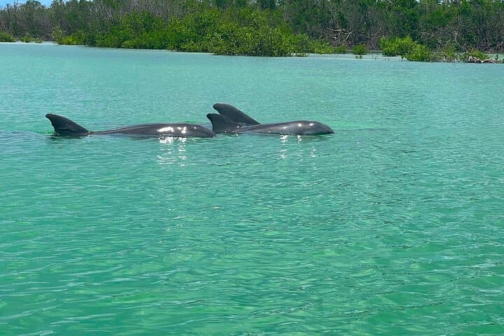
The crossing itself is a genuinely good three minutes. From the top of the fixed span you get the whole geography at once: the bay, the low green line of Sanibel running away to the west, shrimp boats and sailing hulls in the channel, and often dolphins working the current under the bridge.

The queue is a different matter. Traffic backs up on the mainland approach at predictable times, and in February and March it can add half an hour before you have paid anything. The worst windows are late morning on a Saturday, when weekly rentals change over, and any bright winter day between ten and noon when day trippers arrive together.

Leaving is worse in one specific slot: between four and six in the afternoon, when the beaches empty at once and the island's single main road funnels everyone to the same point.

The practical fixes are unglamorous. Arrive before nine or after two. Do your mainland supermarket run on a weekday morning. And if you are staying a week, consider doing the whole shop once on arrival rather than crossing repeatedly, which is the standard local approach and the reason the island's own shops are priced the way they are.

What happened here in 2022, and what you see now

On 28 September 2022 a Category 4 hurricane came ashore just north of here and took out sections of the causeway along with much of the mainland approach. Sanibel and Captiva were cut off from the road network entirely. People died on these islands. That is the plain fact underneath everything a visitor sees today.

The emergency repair was remarkable by any standard: trucks were crossing again on 11 October and all traffic on 20 October, less than a month after the storm. Permanent reconstruction ran for years afterwards, rebuilding approaches and armouring the shoreline with an enormous volume of granite. Work on the causeway islands has continued in phases beyond that.

For a visitor now, this means three things. The crossing is open and normal. The islands beside it are a working site as much as a park, and what is accessible changes. And you will see, from the bridge, evidence of the storm along both shorelines if you know to look: new stone, replanted dune, gaps where houses stood.

It is worth knowing rather than being told nothing, and it is worth mentioning without theatre. People here have had four years of being asked about it.

Tours that visit The Causeway

Operators run these trips past The Causeway, or stop there as part of a longer route. We list what the booking data supports — not everything that mentions the name.

Some links below go to Viator, our booking partner. We earn a commission on bookings made through them — at no extra cost to you, and with no influence on what we recommend.

Shared departurespriced per seat, best value for one or two

Private and small-group optionsoften cheaper per head for a family or a group of six

Near The Causeway

Straight-line distances, so allow more on the road — the island is long and has one main parkway.

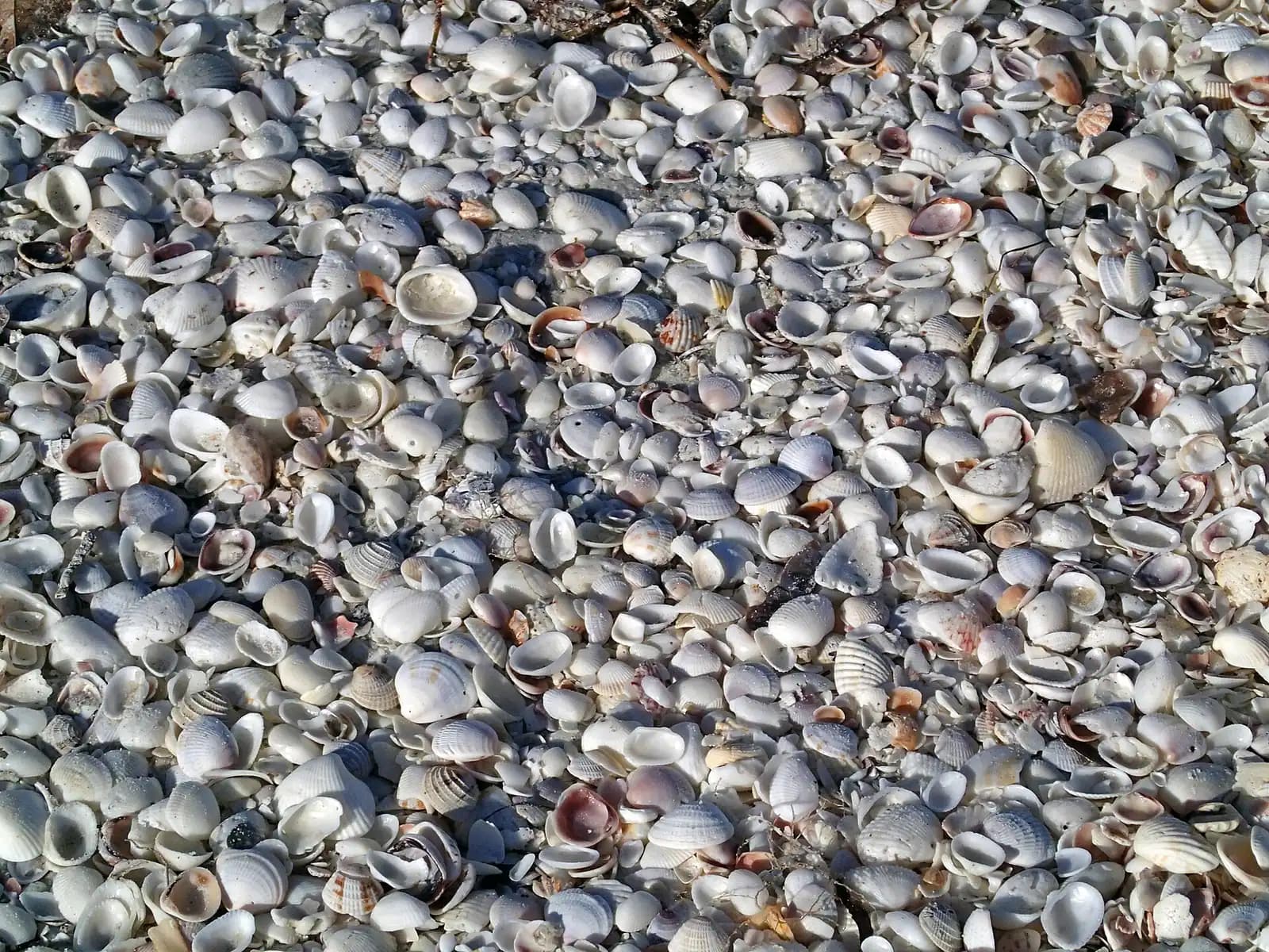
  • A dense bed of small pale seashells heaped together on wet sand

    Beach

    Lighthouse Beach Park

    Free

    The island's east point, where the Gulf beach and San Carlos Bay meet — and the biggest beach lot on Sanibel at 162 spaces.

    1.5–5 hoursBeach access is free. Parking is $5.00 per hour, enforced 24 hours a day.2.6 mi away

  • The gallery and lantern room of a lighthouse seen from below, framed by palm fronds against a bright sky

    Landmark

    Sanibel Island Lighthouse

    Free

    An iron skeleton tower first lit in 1884, dark after Ian and burning again since February 2023. You can walk to it, not up it.

    0.5–2 hoursFree to visit the grounds. Parking is $5.00 per hour, enforced around the clock.2.5 mi away

  • Low evening sun across a wide expanse of tall golden marsh grass

    Neighbourhood

    Dixie Beach

    Free

    A residential lane to Sanibel's quiet bay shore that is not a public beach — and is one of the best roadside bird stops on the island.

    15–45 minutesFree, because there is nothing provided to charge for.2.6 mi away

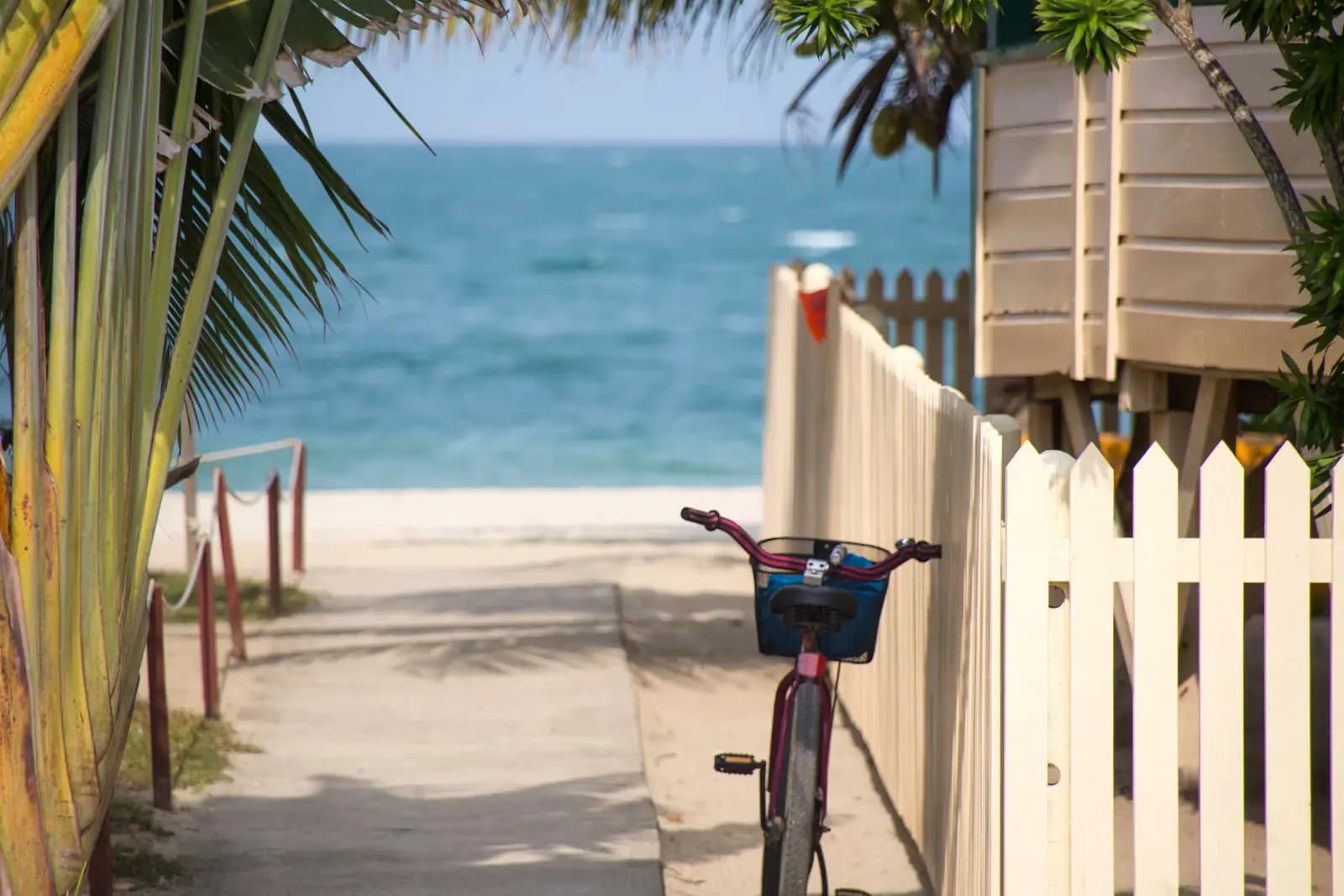
  • A bicycle leaning against a pale fence beside palm foliage on a sunny day

    Shopping

    Periwinkle Way

    Free

    Sanibel's main street and the birthplace of its bike path network. No traffic lights, no chain fast food, shops set back behind planting.

    1–4 hoursFree. The plaza car parks along the street are free to customers.4.4 mi away

The Causeway: common questions

How much is the toll to Sanibel Island?

Recent rates have been in the region of six dollars with a transponder and nine dollars billed by number plate, with a surcharge for each additional axle, so a car towing a trailer pays more. It is charged only in the direction of the islands, which means you pay coming in and nothing going out. Lee County sets the rate and revises it, so check the current schedule rather than relying on a published figure.

Is the Sanibel Causeway open after Hurricane Ian?

Yes. The storm severed it on 28 September 2022, but emergency repairs reopened it to trucks on 11 October and to all traffic on 20 October that year. Permanent reconstruction of the approaches and shoreline armouring ran for years afterwards. The crossing itself is normal now. Work on the two causeway islands between the bridges has continued in phases, so parking and facilities there can be fenced off at short notice.

Can you stop and swim on the Sanibel Causeway?

Yes. The two man-made islands between the bridges are a public beach park with paid City of Sanibel parking, and you can be on sand within a minute of leaving the car. The bay water is shallow, warm and usually flat, which suits paddling and picnics. There is no lifeguard, no reliable shade and boat traffic in the channel, so treat it as a wading beach rather than a swimming one.

Is there another way to get to Sanibel without the causeway?

Not by road. The causeway is the only vehicle route onto Sanibel and, through Sanibel, onto Captiva. The alternative is water: charter boats, private vessels and scheduled passenger services run to the islands and to the outer islands beyond them from several mainland points. For a normal visit with luggage and a hire car, the causeway is the route, and the toll is unavoidable.

When is the causeway traffic worst?

Heading to the islands, late morning on a Saturday in season, when weekly rentals change over, and between ten and noon on bright winter days. Heading off the islands, between four and six in the afternoon, when the beach lots empty into a single road. February and March are the worst months in both directions. Crossing before nine or after two avoids most of it.