Skip to content
Menu

These go through Viator and we take a commission. Same price to you, and no bearing on what we chose to put here.

Search

Nature preserve

Buck Key

Last updated

The mangrove island that shelters Captiva's back side — somewhere you paddle around rather than somewhere you step ashore.

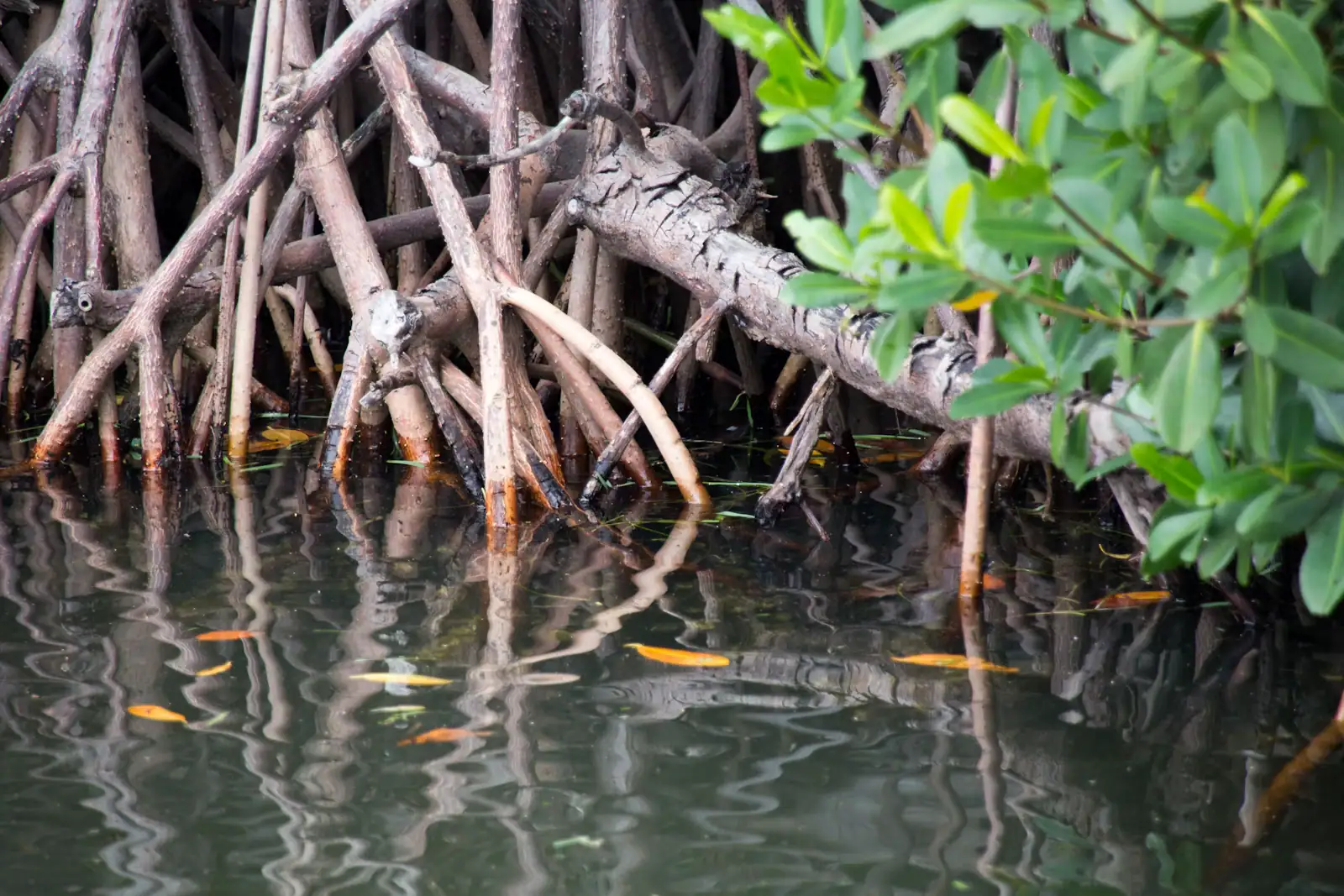
Red mangroves standing on their prop roots at the edge of a shallow saltwater channelUnsplash

Photo: UnsplashUnsplash License

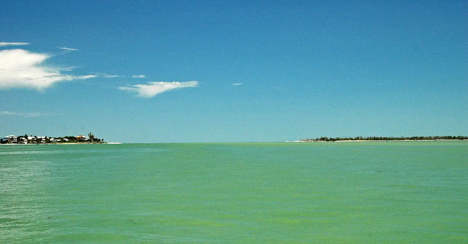
Look east from the docks on Captiva's bay side and the low green wall a couple of hundred yards away is Buck Key. A narrow waterway called Roosevelt Channel runs between the two islands, and that channel is the reason Captiva has marinas at all: Buck Key takes the weather off the back of the village and turns an exposed shoreline into sheltered water.

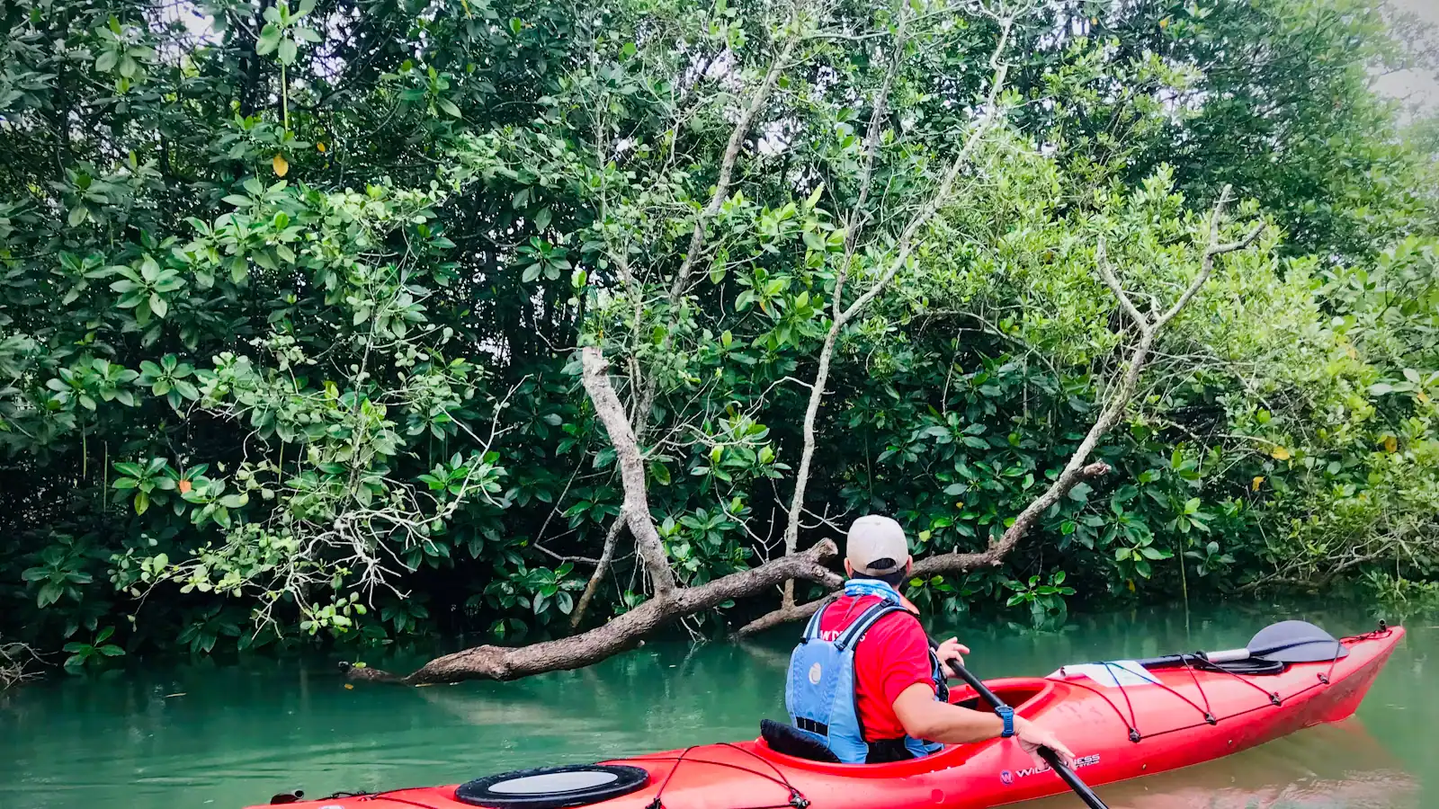
Nothing is built on it. It is mangrove: red mangrove standing on prop roots at the edges, black mangrove behind, tidal creeks running into the interior and out again. From a kayak at the right state of tide, several of those creeks become tunnels, arched over by branches, quiet enough to hear the water moving through the roots.

This is the key thing to understand before planning anything. Buck Key is a route, not a destination. It is somewhere you paddle around and, where the creeks allow, through. It is not a beach, not a picnic spot and not a walking trail you should count on. Who owns and manages which part of it is not marked on the water, and there is no signposted public landing. If you want to step ashore anywhere, ask a local outfitter first rather than assuming.

What you get for the paddle is the estuary at close range. Mangrove roots hung with oysters and barnacles. Mangrove crabs going sideways up the stems as your bow arrives. Yellow-crowned night herons standing in the shade doing nothing at all. Ospreys overhead, rays fanning off the shallows, and mullet detonating out of flat water in a way that makes everyone in the boat jump the first three times.

Island accounts describe homesteads here around the turn of the twentieth century, when families farmed the higher ground, and a small burial ground associated with them. Nothing of that is visible from the water and none of it is a reason to go looking.

The reason to go is an hour and a half of quiet, two hundred yards from a restaurant.
Getting there and parking

There is no road and no dock for visitors. Access is by kayak, canoe or paddleboard from Captiva, which is itself reached by driving the length of Sanibel and crossing the Blind Pass Bridge.

Launch points are on Captiva's bay side, at and around the marinas near the village. Outfitters based there rent boats, run guided paddles into Roosevelt Channel and the surrounding water, and some deliver rentals to accommodation.

From the Sanibel Causeway, allow around 35 to 45 minutes to drive to Captiva's bay side, longer in February and March.

Paddling across from Sanibel itself is a long way and crosses Blind Pass, which runs a hard tidal current. Do not attempt it as a shortcut.

Confirm launch arrangements and any landing permissions with a local outfitter rather than assuming.

Paddling it: tides, route and timing

Tide governs everything. The interior creeks are passable near high water and are mud at low. Roosevelt Channel itself runs a real current on a big tide, so a lap that feels effortless one way becomes work the other. Look at a tide table before you decide on a direction, not after.

The standard loop is a circuit of the island from the Captiva side, roughly two to three miles depending on how much you explore, which is an hour and a half to three hours at a reasonable pace with stops.

Go early. Wind gets up through the morning on this coast and the back side of Captiva is only sheltered relative to the Gulf. First light is flat, cool and full of birds.

Summer. Afternoon storms build fast and a kayak in open water is the worst place to be when they arrive. Be off the water by early afternoon from June to September.

Boat traffic. Roosevelt Channel carries powerboats running to and from the marinas. Stay to the edges, be visible, and do not assume you have been seen.

Navigation. Mangrove looks identical in every direction from a sitting position. Take a phone with an offline map in a dry bag, and do not push into a creek you cannot retrace.

Guided or on your own

Guided is the better first trip. Captiva outfitters run paddles into these waters, and a guide adds three things a chart cannot: knowledge of which creeks are passable at today's tide, the ability to name what you are looking at, and a clear answer about where you may and may not land.

Rental and go works if you have paddled tidal water before, can read a tide table and are comfortable with a current. Rentals are available on both islands, and some outfitters deliver.

What to take: water, sun cover you cannot lose over the side, a hat with a cord, polarised sunglasses which double your ability to see anything under the surface, repellent for the still air in the creeks, and a dry bag. Wear shoes; oyster is sharp and anything you step on in the shallows will be either oyster or something alive.

What to leave: anything you would grieve if it went to the bottom.

Wildlife distance. Manatees use these waters. Approaching, pursuing or touching one is an offence in Florida regardless of intent. If one surfaces beside you, stop paddling and let it decide what happens next.

What the mangrove actually holds

A mangrove shoreline looks like nothing from a road and like a city from a kayak.

  • Oysters and barnacles encrusting the prop roots at the waterline, which is the bottom of the food chain and the reason everything else is here.
  • Juvenile fish in the root tangle. Snook, tarpon and snapper all use mangrove as a nursery, which is why this habitat is protected and why damaging it is taken seriously.
  • Wading birds working the edges: night herons, tricoloured herons, little blues, white ibis probing the mud.
  • Ospreys on channel markers and dead branches, with nests you will hear before you see.
  • Mangrove tree crabs, small and fast, going up the stems ahead of the boat.
  • Rays in the shallows, and the sand plume they leave when they move.
  • Dolphins occasionally in the channel, which is a different experience at eye level in a plastic boat than from a tour deck.

Do not grab the roots to steady yourself. Oyster shell cuts deeply and the cut goes bad quickly in warm salt water. Use the paddle.

Tours that visit Buck Key

Operators run these trips past Buck Key, or stop there as part of a longer route. We list what the booking data supports — not everything that mentions the name.

These go through Viator and we take a commission. Same price to you, and no bearing on what we chose to put here.

Near Buck Key

Straight-line distances, so allow more on the road — the island is long and has one main parkway.

  • Low wooden storefronts with corrugated roofs along a quiet two-lane road in a small coastal settlement

    Neighbourhood

    Captiva Island

    Free

    A different island across a 200-foot pass: one road, one village, no dogs on the sand and parking that costs several times Sanibel's.

    3–8 hoursNo charge to visit. Parking is the real cost, and it varies by which authority runs the lot.0.4 mi away

  • An angler casting a line from a rocky shoreline into moving water at dusk

    Water feature

    Blind Pass

    Free

    The narrow gap between Sanibel and Captiva, where tidal current does the sorting — and where the swimming that looks inviting is not.

    1–3 hoursFree to visit. Parking on either side is a paid City of Sanibel session by the hour.2.6 mi away

  • An empty wide sand beach backed by dune vegetation with small surf offshore

    Beach

    Alison Hagerup Beach Park

    Free

    Captiva's north-end public beach, where the parking pays for the sand you are standing on and an all-day space costs more than lunch.

    1.5–5 hoursNo admission charge. Parking is paid by the hour or by the day and is the most expensive on either island.1 mi away

  • Aerial view of a pale sandy point at the end of a low wooded island, with small boats in the shallows

    Beach

    Turner Beach Park

    Free

    On Captiva, run by Sanibel, and the last of the island beach parks to reopen after Ian — in April 2025.

    1–3 hoursFree to enter. Parking is $5.00 per hour in a 28-space lot, enforced 24 hours a day.2.3 mi away

Buck Key: common questions

Can you land on Buck Key?

Treat it as a paddling route rather than a landing. Nothing is built on the island, there is no signposted public access point, and ownership and management of individual parcels are not marked on the water. There is no maintained walking trail you should rely on. If you want to step ashore anywhere, ask a Captiva outfitter first — they paddle it constantly and will give you a straight answer about what is permitted this season.

How do you kayak around Buck Key?

Launch from Captiva's bay side near the village marinas and paddle out into Roosevelt Channel, the narrow waterway between Captiva and Buck Key. A circuit of the island runs roughly two to three miles and takes an hour and a half to three hours depending on how much you explore. Go near high water if you want the interior creeks, go early for flat conditions, and check the tide before choosing a direction.

Is Buck Key good for beginners?

On a guided trip, yes. The water is sheltered compared with the Gulf and the distances are short. On your own it is less forgiving than it looks: Roosevelt Channel runs a real current on a big tide, powerboats use it, and mangrove creeks look identical in every direction from a seated position. A first-time paddler should book a guide, both for safety and because a guide knows which creeks are open today.

What wildlife will you see at Buck Key?

Mangrove specialists rather than beach species. Yellow-crowned and black-crowned night herons, tricoloured herons, white ibis and ospreys are routine. Mangrove tree crabs run up the stems as you pass, rays lift off the shallows, and mullet jump clear of flat water. Manatees use these waters and dolphins occasionally come through the channel. Keep your distance from both; approaching a manatee is an offence in Florida.